Authors:
Suzana Vurunić, Anže Japelj, Mateja Šmid Hribar, Ilona Rac
Year:
2023
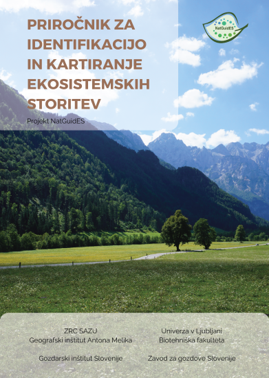
The Manual for the Identification, Assessment, and Mapping of Ecosystem Services, developed within the NatGuidES project, defines practical steps for implementing the concept of ecosystem services in protected areas. Its purpose is to support managers in the management of protected areas using a protocol for the identification, assessment, and mapping of ecosystem services. It outlines 6 operational steps: defining the area and set of ecosystems, identifying stakeholders, identifying and classifying ecosystem services, selecting indicators and assessment methods, assessing and mapping ecosystem services, and interpreting maps and providing management guidelines. The final results of the protocol include assessments of ecosystem services and maps (spatial representations) of ecosystem services, which quantify and visualize the spatial availability of ecosystem services. Each step, within which expected results, theoretical foundations, and main challenges are presented, is illustrated with concrete examples from the Logar Valley Landscape Park.
-
Authors
-
Publishing House:
Založba ZRC
-
Co-publishers
Anton Melik Geographical Institute
Gozdarski inštitut Slovenije
Univerza v Ljubljani (Biotehniška fakulteta)
Zavod za gozdove Slovenije
-
ISBN
978-961-05-0798-7
-
Year
2023
Language(s)
-
Specifications
internet publication pdf 84 pages
-
E-publications
08. 01. 2024
-
Permalink